Blog
Sam Poullain
01.25.2023
Data driven cocreation
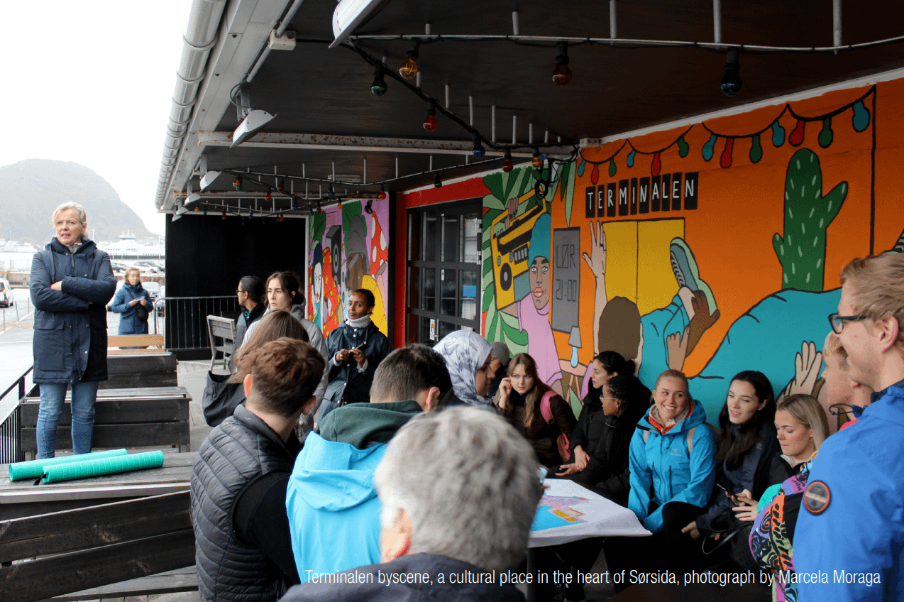
In the fall of 2022, NTNU conducted a course for the second time in collaboration with the projects SmartPlan, Datsam, and Twin Fjord. We hosted 23 students who carried out projects in Sørsida and Geiranger. We thank them for the cooperation and hope to repeat it next year. More.
08.06.2022
Two articles on modelling and simulation conference
At the ECMS Conference 2022 on Modelling and Simulation, two articles from the project SmartPlan were presented. Léo Leplat from NTNU presented “GENOR: A Generic Platform for Indicator Assessment in City Planning,” and Pierre Major from Augment City presented “On the Use of Graphical Digital Twins for Urban Planning of Mobility Projects: A Case Study from a New District in Ålesund, Norway.” More.
11.25.2022
Twin Fjord at ISNGI in Rotterdam
Twin Fjord participated in the International Symposium for Next Generation Infrastructure (ISNGI) conference in Rotterdam September 2022.
Augment City, United Future Lab Norway and NTNU co-presented the digital twin used in Twin Fjord at the conference in Rotterdam. The presentation emphasized that technical, social and green infrastructure needs to be approached holistically in land-use and transportation planning.
11.25.2022
Digital twin training with municipalities
Digital twins have been established for Fjord and Stranda municipalities, and training sessions have been held during spring 2022 for planners and other stakeholders to familiarize with the tool, its interface, and functionality.
Training sessions are important to bring project stakeholders up to speed on the current tools for participatory planning support, as well as gather feedback on features and functionality that is relevant in further developing tools. Through direct engagement, useful insights are gained for tool users, analysts and developers.
11.05.2022
Gigamapping session in Stranda
Project partners met in Stranda June 2022 to further detail municipal case studies in a Gigamapping workshop.
Gigamapping is a process of System Oriented Design (SOD) used to help stakeholders, developers and analysts understand complex real world problems. The method is used to detail, contextualize and relate elements in complex systems and their environment in time and space. The process includes mapping across several topics, dimensions and scales in relation to a case, problem or theme. Each municipality worked through several map layers, to create case timelines, topic relations, and identify the potential for co-creation, visualization and data-collection for the municipal cases.


